Thursday, November 8, 2012

October 28-31, 2012 -- Alton to Cumberland Towhead


Just south of Alton, we transited the Mel Price Lock. A short while later, the Missouri River entered the Mississippi, completing the “Meeting of the Great Rivers” including the Illinois, which we had left earlier.
With all the rivers converging, this is a busy area, with lots of tugs with tows.
Now we pass St. Louis, Missouri, on the right descending bank, where a modern bridge is under construction.
Here’s St. Louis’ famous 630 foot-high Gateway Arch. This is the tallest monument in the U.S. and the Mississippi River’s most famous landmark. The Arch is quite a site along the riverbank, providing a focal point for the city. The banks here are mostly industrial, and there were lots of tugs and barges.
Our next stop is Hoppies Marine Services. The “dock” is made up of single barges laid end-to-end, parallel with the shore, and connected to it by a catwalk with wheels on the shore side. The wheels roll up and down a cement launch ramp, as the water rises or recedes. This is a rough and ready operation. The “dock” had power, water and restrooms, but no showers. This time through, we were the only transient at this “dock” all tied nice and snug with our bow into the 3-knot current of the Mississippi River.
Hoppies is at the town of Kimmswick, Missouri, which is on the right descending bank. Just as when we were here three years ago, this small town was celebrating Apple Butter Festival. We walked into town to check it out. Thousands of visitors (as there aren’t many residents!) thronged the streets, with hundreds of vendors selling their wares from tents.
A petting zoo featured, among other animals, a camel, an odd sight in Missouri!
Hoppies’ proprietor Fern Hopkins greeted us. This business on the river was started in the 1930s by her grandfather. The Hopkins men also worked on the river as navigational marker lamplighters for years, long before powered lights were installed. Fern told us the lights needed to be refueled with kerosene every 48 hours, which kept them very busy. Fern is a lifelong boater and renown for her knowledge of this section of the Mississippi River. She holds daily chart briefings for the boaters, which we were delighted to attend – this time, as the only travelers at her dock! We took copious notes and asked questions, which Fern was pleased to answer. With her valuable local knowledge, we now feel we know what may be around the next bend!
After dark, a big pleasure boat arrived. The next morning we looked over Lady Chateau and met the owners from Stillwater, MN. Then, we cast off and made our way down the Mississippi.
In some places, elegant homes graced the shore.
Along both banks of the river there are hundreds of wingdams or weirs, running perpendicular to the river. These are an attempt to stop what Mother Nature intends for the river.
The weirs are sometimes invisible, submerged underwater, at various depths, but in this fall’s low water were easily visible. They are designed to deflect the river current toward the center of the river, to prevent erosion of the river banks and curtail shoaling of the channel. At Fern’s recommendation, we anchored behind one for the night, and saw how it protected the area from any stray barges which might come loose from the tows – which they occasionally do!
The river has ample navigational marks, and the speed of the current is evident from the “wake” around this stationery navigational buoy. We were getting about a 3-knot current boost, less than our last transit of this area at much higher water.
An attractive town on the right descending bank is Cape Girardeau, welcoming mariners with a levee mural.
At Cairo, we anchored for the night in Angelo Towhead. While it looked wide open and unprotected, it was recommended by Fern, and turned out to be safe from tows and winds, and calm for the night.
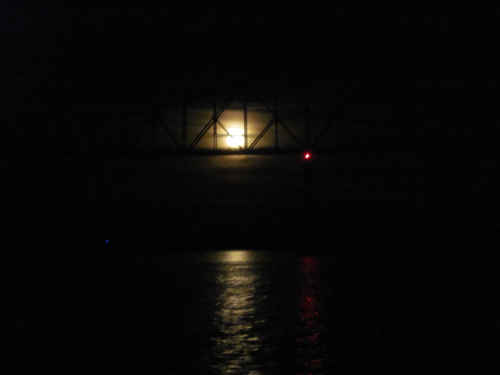
The moon rose over the Cairo Bridge.
The next morning, we did a hard left up the Ohio River. Parked barges were stacked up on both sides of the river for the first few miles, creating the illusion of no passage at all. Here, as we are going upriver. We have lost our 3-knot boost and now have a 2-knot head current, making it slow going. In the short section of the Ohio River we will transit, we will not be in the state of Ohio, but have Illinois on the right descending bank (our port side) and Kentucky on the left descending bank (our starboard side).
Just as was the case three years ago, the new Olmsted Lock is STILL being constructed. It’s a huge project, with a considerable land-based staging area, and year’s worth of work.
When completed in 2013, this lock will replace two old-style wicket locks that are upstream.
We enjoy seeing the activity along the riverbanks. Here, many tugs and tows await lockage at creatively-named Lock 52. We found a perfect place to anchor inshore of Cumberland Towhead Island and well out of the shipping channel. We had stopped here three years ago and remembered the security and quiet of the anchorage. The sunset was beautiful, and we slept peacefully with a 2-knot current to keep us snug on our anchor.

Thursday, November 1, 2012

October 24-27, 2012 -- Ottawa to Alton, Illinois


We departed Ottawa to continue down the Illinois River. Our sole lock today is the Starved Rock Lock, in the Starved Rock State Park
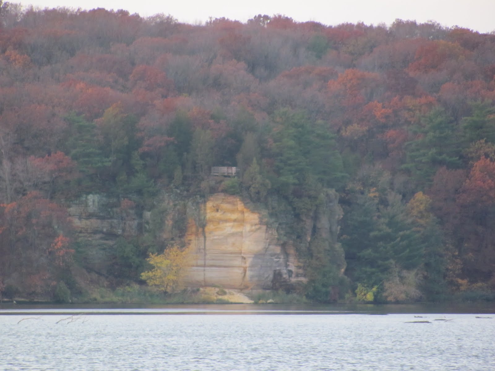
This is the Starved Rock, a beautiful formation over 400 million years old. Waterfalls, bluffs and 18 canyons dominate the landscape of the spectacular Starved Rock State Park.
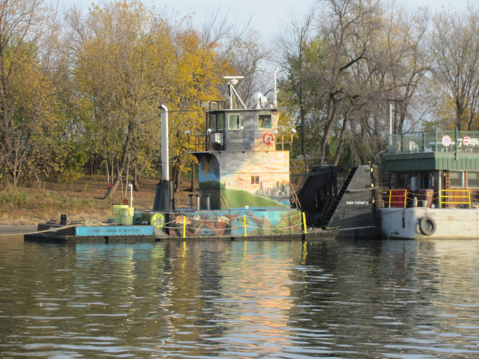
We see lots of tugs in our river travels, but few as attractively decorated as this one.
We knew we were coming into civilization, as the riverbanks became more industrial. In some spots coal is being offloaded at power plants; at others, fertilizer for agricultural uses. We also see grain loading on barges through large flexible hoses.
In Upper Lake Peoria, we saw this large flock of pelicans roosting on a bulkhead. Forty percent of the nation’s migratory waterfowl and 60% of all North American birds use this central river corridor as their migratory flyway.
We stopped for the night at the downtown Peoria City Dock. As it is past boating season here, there was no dockmaster, and we couldn't find anyone to take our money. So we had to stay for free! We were fortunate to also have dockside power, as the weather is cool. With the lows in the high 30s at night, we needed Monarch’s heat.
The Spirit of Peoria docked right behind us in the harbor, taking no cruises this time, as the falls colors are past their peak.
Downtown Peoria has many businesses, banks and office buildings, including the world headquarters of the Caterpillar Corporation. Adjacent to the docks is the new Caterpillar Museum, which just opened a week ago. By the time we ventured there, the last tour of the day had ended, so we didn’t get to see it. But we did have an excellent dinner at Two 25, the restaurant in the Mark Twain Hotel just a few blocks from the dock. Next morning, we were off, down the Illinois River, through the Peoria Lock, where we hovered in the center for the modest 8-foot drop. There was a slight delay, as they greased the gears prior to our drop. An otherwise uneventful 66 nautical mile day brought us to an anchorage at Bar Island, just south of Beardstown.
The next morning, at the La Grange Lock, we waited for the Marquette Hilltopper to exit the lock, upbound.
People who live along the rivers are prepared for high water. The river’s banks are often earthen levees, highly mounded with trees growing on them, beyond which we can’t see.
We stopped for the night at Grafton Marina, the last town on the Illinois River, before we enter the mighty Mississippi River. Grafton is on the left descending bank. The sides of the river are delineated by right or left descending (going downriver) bank, no matter which direction you are traveling. This is because the river twists and turns so much that compass points aren’t as descriptive as each side of the river.
At last we are on the Mighty Mississippi! The scenery changes dramatically, with the lowlands replaced by high palisades on the left descending bank. Along the shore is the Great Rivers National Scenic Byway, a highway that winds alongside the river, with beautiful views of the etched river bluffs. Here, the state of Missouri is on the right descending bank, and Illinois on the left. One of the world’s major river systems, the Mississippi is the third longest river in North America at 2,350 miles. Its watershed covers about 40% of the continental US and includes all or parts of 31 states and 2 Canadian provinces. Sixty percent of all grain exported from the US is shipped on the river.
We stopped for the night at Alton Marina. The entire marina floats, including the harbor office, the shower and restroom facilities, and the swimming pool and hot tubs (unfortunately closed for the season!). As the river floods every spring, and sometimes in between, this is an ideal setup. Metal roofs over the slips are fixed to the floating docks as well, and so the whole array goes up and down with the river’s level.
We did a walkabout, and came upon a fundraiser held on one of Alton’s pretty streets, with wine and beer samplings in a pocket park. The town is hilly; note the steep incline of the street in the next block.
Alton’s popular walking tour, the Alton’s Lincoln and Civil War Legacy Trail, visits the site of the Lincoln-Douglas debates. On October 15, 1858, Lincoln met Douglas for the Senatorial campaign debate. Lincoln’s point was “a house divided against itself cannot stand,” while Douglas’ point was “our government can endure forever divided into free and slave states.” Lincoln won the debate, but lost the Senate race. But this debate caught the attention of the national media and elevated Lincoln into a prime position for his 1860 Presidential victory, and there his point was proven. That evening, we celebrated our 33rd wedding anniversary with a nice dinner out at Gentelin’s on Broadway, followed by Martha’s homemade rhubarb pie back aboard Monarch. .

Saturday, October 27, 2012

October 21-23, 2012 -- Chicago to Ottawa, IL

At last we are able to slip our lines in Holland, Michigan, after FIVE weeks with Jerry’s surgery and bad weather. We’ll miss the Big Red lighthouse, but the window opened, and we jumped at the chance.
The crossing was moderately choppy, with lots of spray, but we were greeted by the Chicago skyline and arrived at the Chicago Yacht Club in good order.
The day was just right for sailing in Monroe Harbor.
The Yacht Club is an easy walk to famous Grant Park, Millennium Park and the Cloud Gate sculpture affectionately known as the Bean.
Crowds come to see their distorted reflections, and those of the surrounding skyscrapers. That evening, we topped off the day with oriental cuisine and sushi at a fine restaurant on Michigan Avenue.
The next morning, under cloudy skies, we departed the Yacht Club for our transit of the Chicago Lock and the start of our river trip.
We enjoy this part of the cruise, as we are right in town, and the skyscrapers tower over Monarch.
Office buildings, apartments, condos and boat wells line the banks.
There are scores of bridges spanning the river, so we had put our radar mast down for efficient transit. We passed by the Willis Tower, formerly the famous Sears Tower.
The area turned industrial, although there were pleasant pocket parks along the way. The theme here is oriental. The Chicago River now turns into the Chicago Sanitary & Ship Canal. Here the waterway is not suitable for any human body contact, according to signs posted on the bank.
As usual, an Amtrak train occupied the one bridge we needed lifted.
Further on, we transited the electric fish barrier, which is designed to keep invasive Asian Carp from the Great Lakes.
Locking through on the river, we spotted this tug propeller turned into art. Now on the Des Plains River, our first river night was spent at Centennial Park dock in Joliet, in the rain.
As we left the industrial area, the banks turned more rural, complete with many elaborate duck blinds; this one has hunters at work. Now we are on the Illinois River.
One marina featured interesting houseboats, looking quite inviting.
At the Dresden Lock, we had an hour and a half wait, as a huge tow was transiting upbound. The tug parked half its load in the lock, backed out, and the barges were raised. Then the lock tenders winched the barges out of the lock with huge steel cables and a capstan.
Between the two commercial loads, Monarch slipped through this narrow opening to go into the lock for the transit down.
We cleared the barges, which were close by, and got our locking down. After we exited, the tug and remaining barges entered the lock for the trip up and were reunited with the other barges.
Some tugs are huge, and some like this one, are slender.
Our stop for the night was the Ottawa town dock, under a highway bridge. We could see interesting new artwork on the far bank.